With that, I present to you-Skokie Lagoons http://en.wikipedia.org/wiki/Skokie_Lagoons - http://fpdcc.com/downloads/maps/pdf/nbn_trailmap.pdf

I scope out alot of trail on my own, I even just run through the woods and have never felt "lost". This area was different, even though I was on a trail, I felt I had no idea where I was in relation to north, south, east, or west. The day I chose to run here it was very overcast and the sun had no perceivable position in the sky.
I parked on the East side near the trail head. There is no formal parking, just a wide shoulder, so I checked for signage and saw others had just parked so I did as they did. I activated my "map my run" on my phone and ran with out my garmin watch. I easily found the trail head and with in .25 miles I was crossing over into the "island" area of the lagoons.

Instantly you are confronted with 4 options-right or left, straight, or kind of southwest. I chose the southwest option, figuring I was on the more northern portion of the island and wanted to get a long stretch into the trail.
Almost immediately, I was confronted with flooded trails. Id run a few hundred meters and then have to chug through the swampy side of the trail to avoid standing water or deep mud.
After about a mile or so, my trail punted north, I was totally confused. I kept having to check the map on my phone to make a decision of where to head when the trail would branch off.


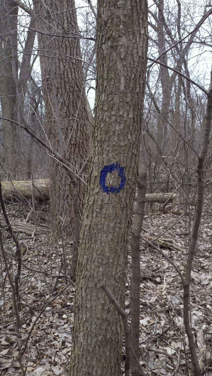
As I approached the terminus of the northern tip of the island, I noticed a blue circle painted on a tree. This made everything easy. I just started following this and soon I made my way back to where I had started.
Then decided to take a trail that skirted the water. This is what my shoes/legs looked like

This was tame....
Random Fish on Trail?

As I ran, the mud pits and pools of standing-freezing water got bigger. My willingness to skirt them was waining. I kept looking for route around these increasingly frequent obstacles, eventually I succomed to being either ankle deep in mud or at times knee deep in water. It was a tough go but honestly very fun.


I guess that is what one can expect when you run on islands that were built to help control flooding of the river...they flood.
As I continued on the trail southward, there were more markings on the trees. I'm sure the MTB community knows how to navigate off of them, but for me, it just kind of helped me not feel lost. At about the 40 minute mark, I stopped noticing what was around me or what was on trees, but rather focused on not falling or stepping in a deep pool and finishing the run.
This was a lovely section that looked like trails I have run in WA state, minus mountains and evergreens:

Wow, now that I look at this pic, it looks pretty gloomy. The truth is, these trails are awesome.
Granted, there are really no elevation changes (there are some very short steep inclines, but they are really nothing more than small bumps), but there are lots of technical elements that keep you present in your footing. Additionally, it would be a great place to learn how to run fast on trail. The northern section seems to be the most twisty/rooty. The southern portion is more cruising and open. I really like the variety. I would love to run here when it is dry and explore some more of the interior connector trails.

The trails were literally underwater!
Its hard to compare these trails to other systems. So I will just put down the pros and cons-
Pro:
- Single Track, next to the Edens-its very accessible
- High quality and maintained trails
- Mix of technicality
- 5 miles of un interrupted trail running-not gravel bike paths. You can actually train here.
Con:
- Pancake Flat
- Its obviously a MTB trail system, with that said, I have no idea how congested it gets and if they would share with runners
- IT FLOODS
For this run I wore:
Saucony Peregrines-Thank heavens, I needed all the grip I could get. It was nice to see how well they drained. They did hold onto mud, but any shoe would have in these conditions
Salomon running vest and shorts-these RULE and I cant see going back to wearing Nike shorts ever
Salomon EXO-SLAB calf sleeves-these multitask-ed-protected my lower legs from the un-seen nasties hidden in the depths of the water, helped keep me warm, and supported my poor lower leg muscles that were being tested by the lack of footing.
Mountain Hardware merino wool long sleeve shirt-this thing is amazing and breathes when you need it, keeps you warm when you need it.
The North Face trail socks-what ever....nothing was keeping my feet dry.
The Ultimate Direction 20 oz handheld-with water/hammer endurolyte endurofizz peach. Love this stuff, I am very prone to cramps if I dont stay on the salts. Im also getting used to the flavor. This stuff is also very economical from Runningwarehouse.com.
Wow, that is pretty cool looking man. Wish there was some of this along the lakefront!
ReplyDeleteLove the pics!!!!!!
ReplyDeleteGood pictures and review. Early spring is probably the worst for those trails, They should drain some come summer. You are braver than I am, I don't know that I would run through that.
ReplyDelete